Powiat lubawski
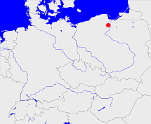
Diese Karte zeigt die Position oder den Umriss des Objekts. Haben Sie einen Fehler entdeckt? Dann würden wir uns über eine Nachricht freuen.
Übergeordnete Objekte
Legende
| | politische Verwaltung |
| | kirchliche Verwaltung |
| | gerichtliche Verwaltung |
| | Wohnplatz |
| | geographische Typen |
| | Verkehrswesen |
Übergeordnete Objekte
Übergeordnete Objekte
Bilder im GenWiki
Quicktext
object_1074337
	gehört ab 1920 bis 1939 zu object_256463 sagt source_1074216,
	heißt  (auf pol) Powiat lubawski sagt source_299844,
	ist (auf deu) Landkreis;

