Sorgenthal


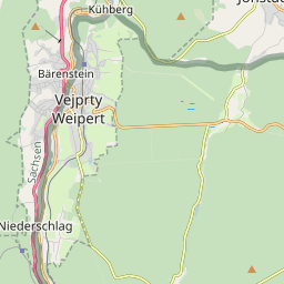

Diese Karte zeigt die Position oder den Umriss des Objekts. Haben Sie einen Fehler entdeckt? Dann würden wir uns über eine Nachricht freuen.
| GOV-Kennung | http://gov.genealogy.net/SORHALJO60ML |
| Name |
|
| Typ |
|
| w-Nummer |
|
| Artikel zu diesem Objekt im GenWiki | |
| Geographische Position |
|
Bemerkungen
1930 - v dalších letech jako osada zanikla (součást obce Kryštofovy Hamry v okr. Chomutov)
Übergeordnete Objekte
Legende
| politische Verwaltung | |
| kirchliche Verwaltung | |
| gerichtliche Verwaltung | |
| Wohnplatz | |
| geographische Typen | |
| Verkehrswesen |
Übergeordnete Objekte
Übergeordnete Objekte
Quicktext
SORHALJO60ML
	 TEXT: 1930 - v dalších letech jako osada zanikla (součást obce Kryštofovy Hamry v okr. Chomutov) :TEXT,
	gehört ab 1854 bis 1930 zu PLEEILJO60ML sagt source_1285356 (S. 665) (Nr 277/1854) sagt source_1285504,
	hat w-Nummer 62245,
	heißt  (auf deu) Sorgenthal,
	ist (auf deu) Ort,
	liegt bei 50.4969347°N 13.0830397°O;